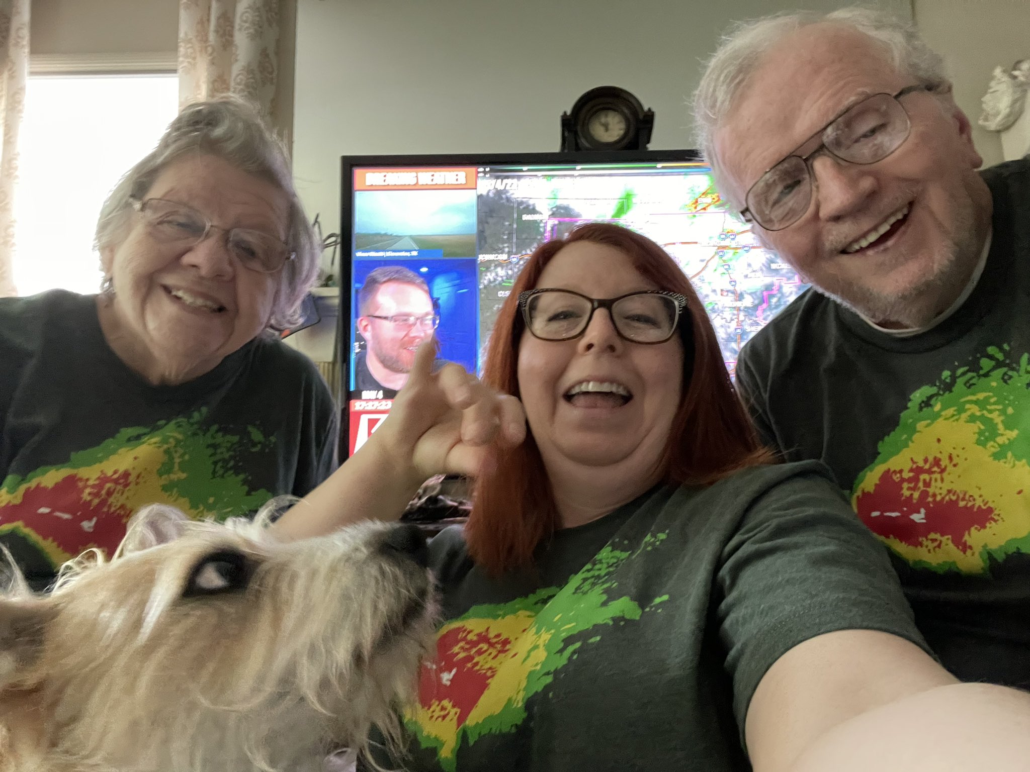
Today was insane. Huge shoutout to the team, the chasers, and all y'all for coming together to make our show as incredibly important / informative as it is. So thankful we are able to help in the unique ways that we do.
See you tomorrow!
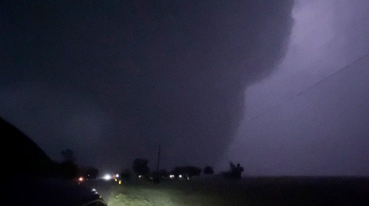
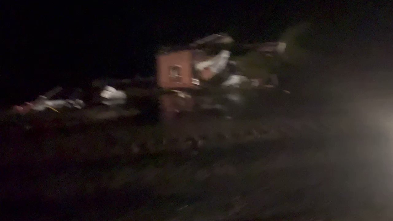
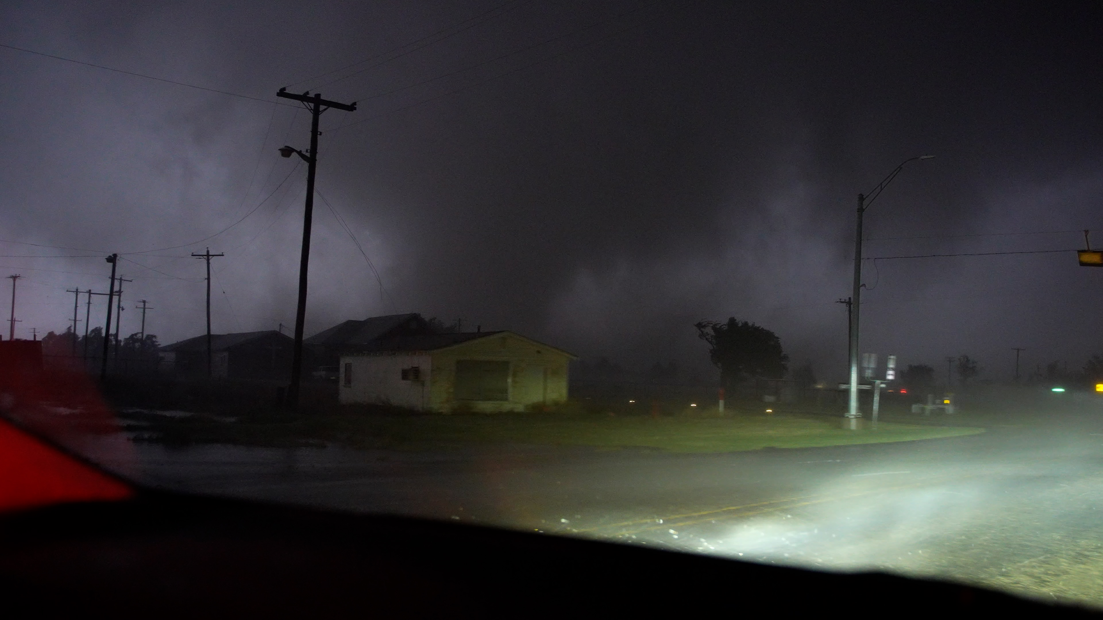
Here's my mention on Ryan's stream of deviant/switching tornado-relative motion to the north toward Lockett, TX at 9:03PM CDT (not currently warned at the time), and the town was hit at roughly 9:13PM CDT.
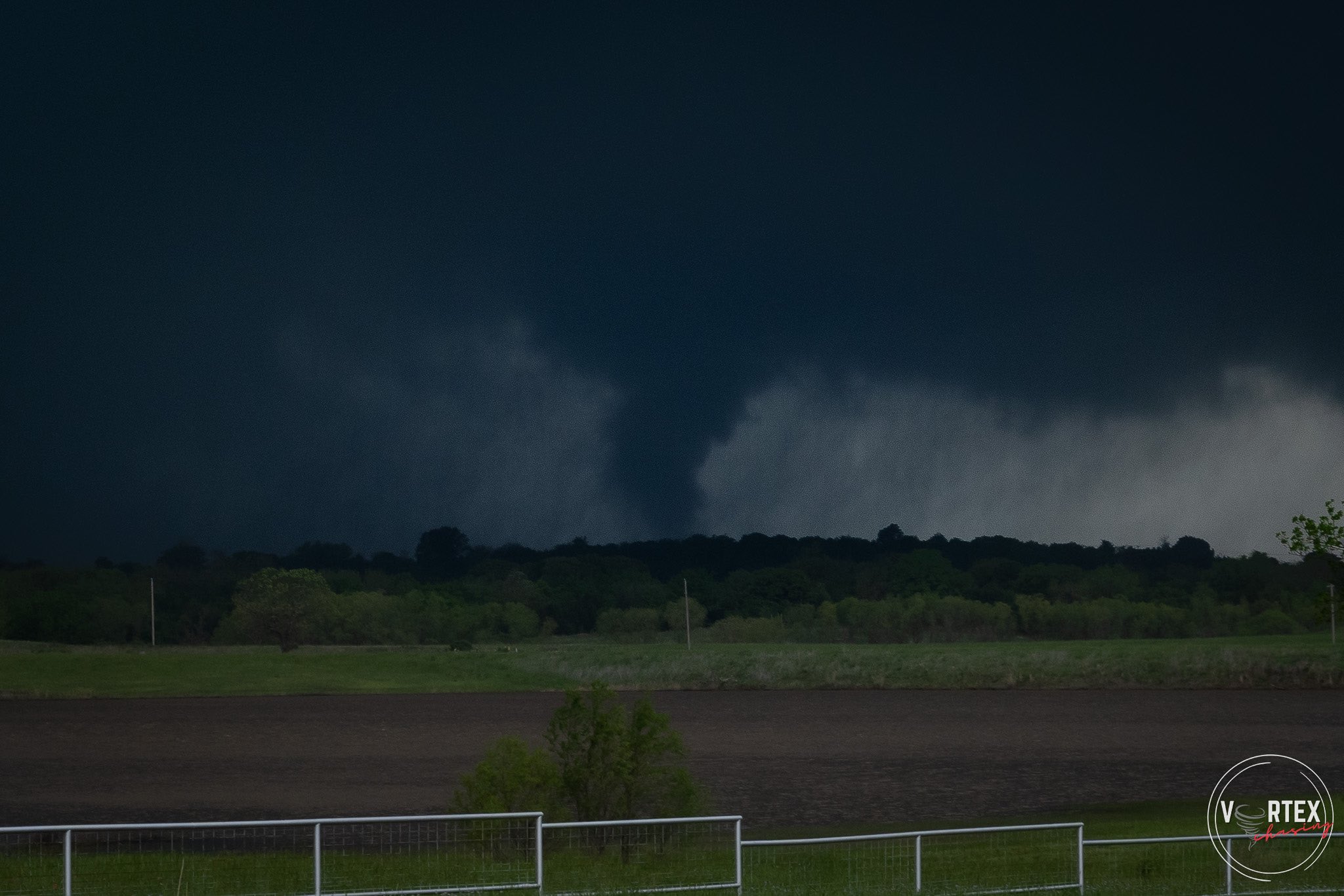
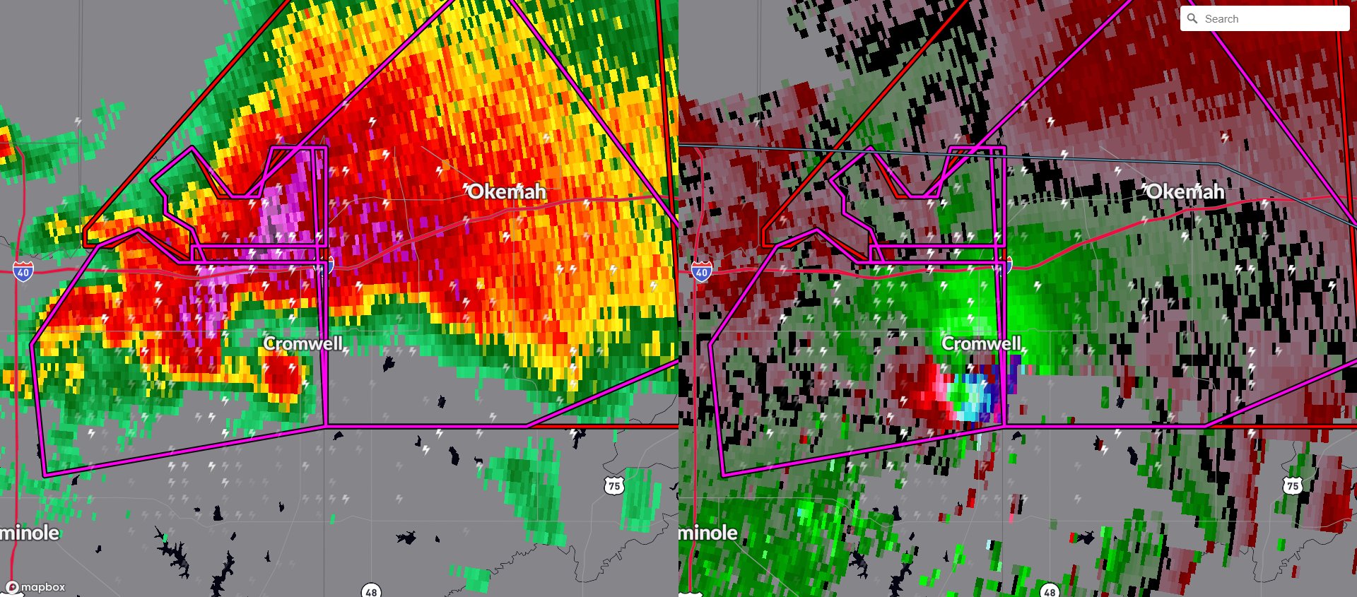
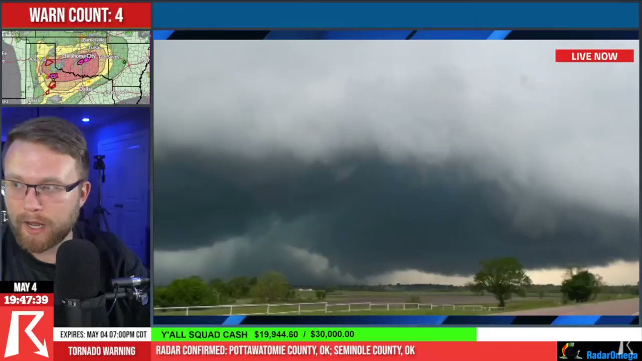
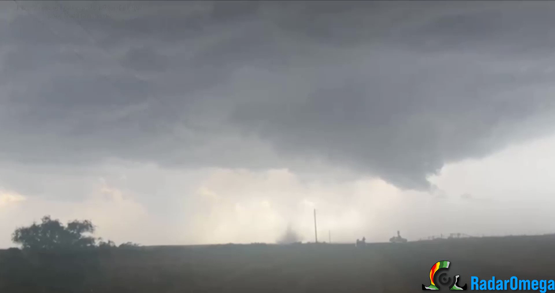
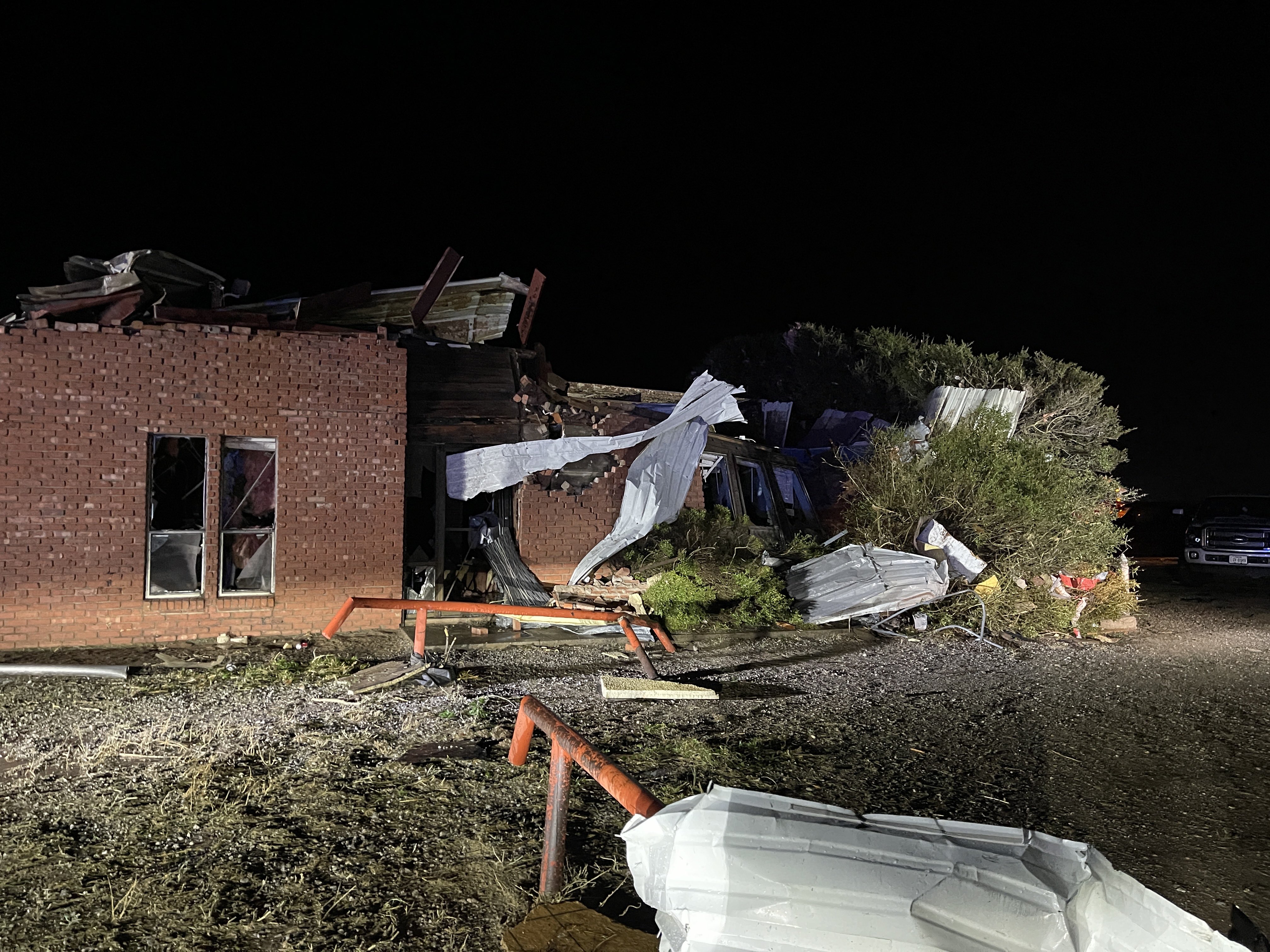
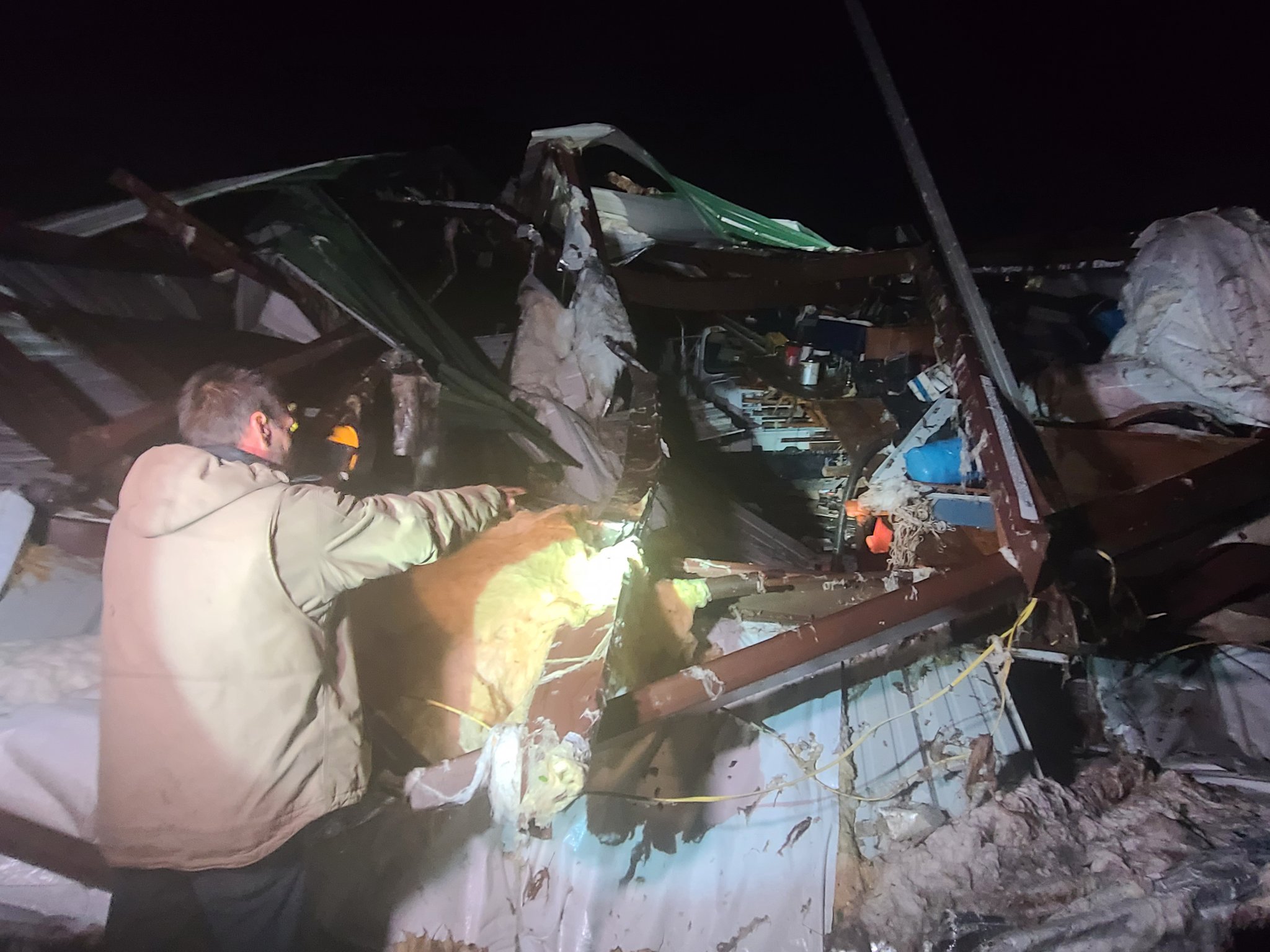
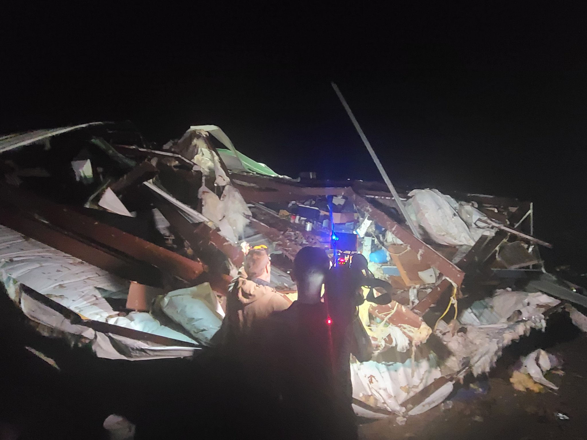
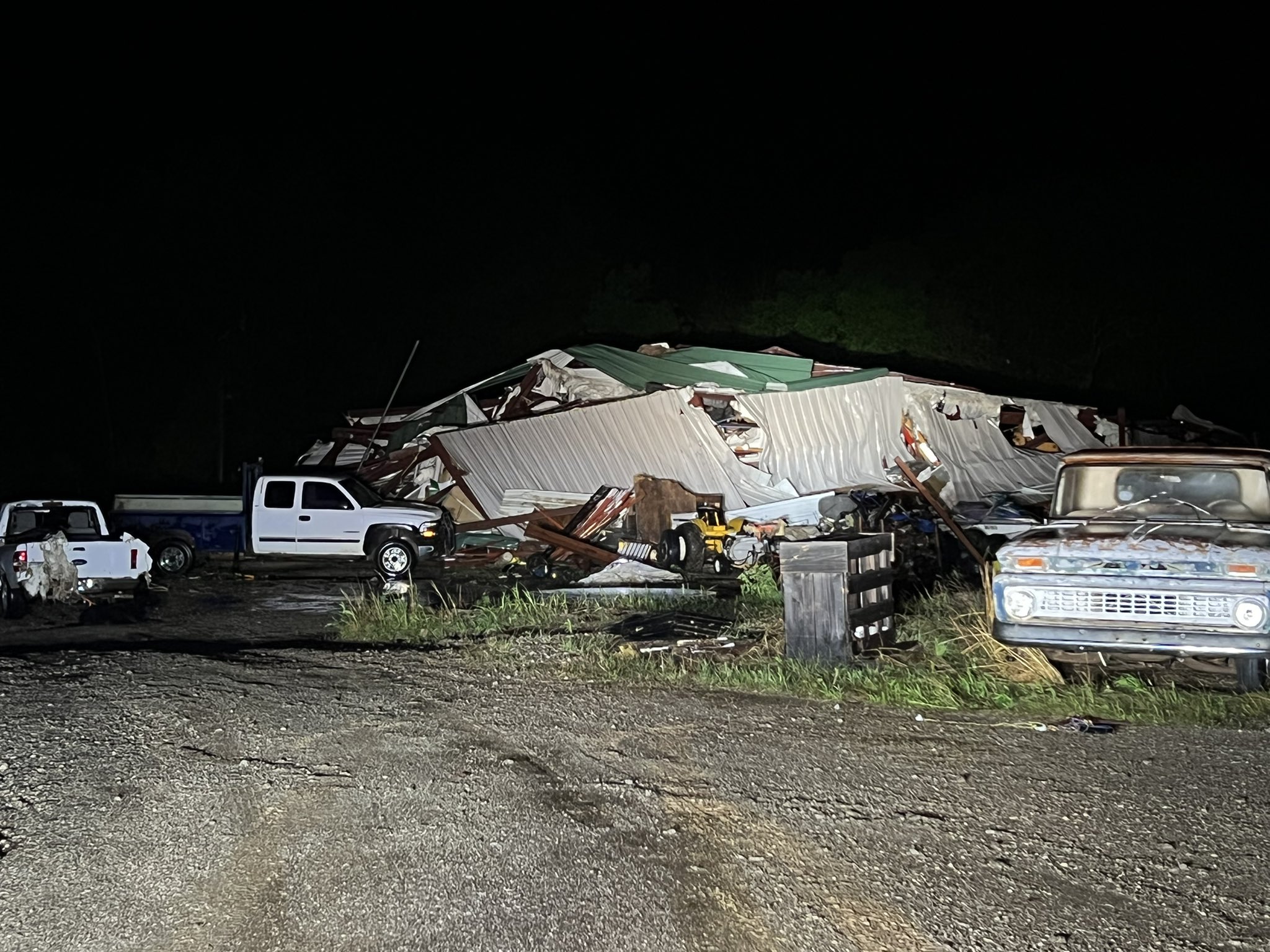
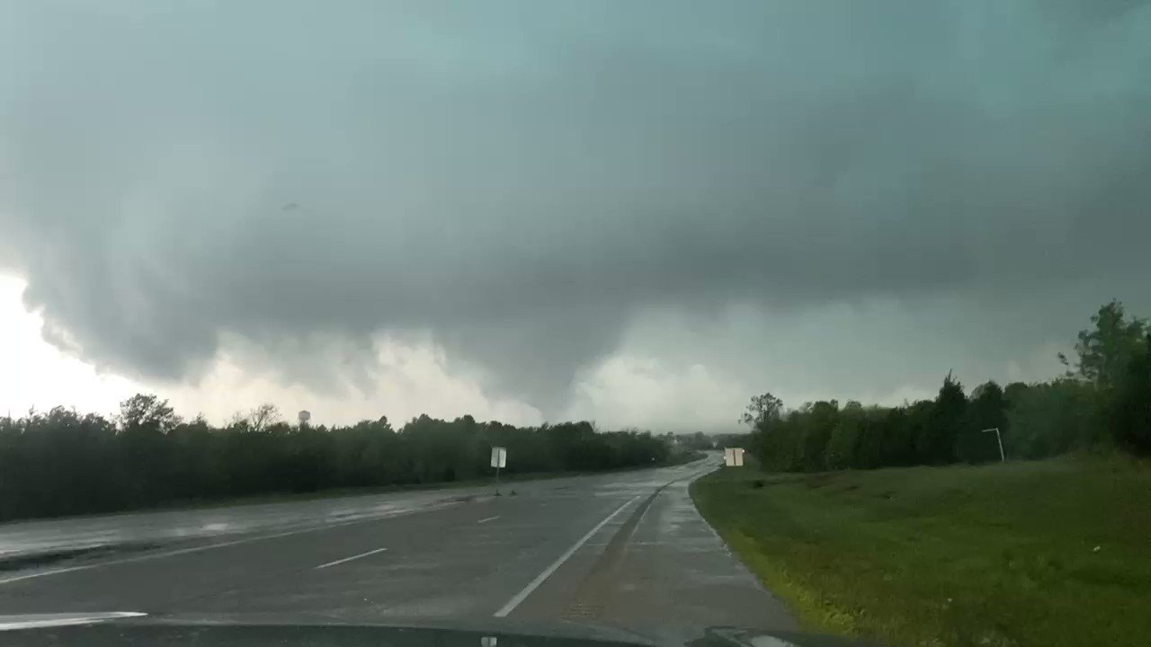
We ended up seeing a few different tornadoes with that cyclic supercell. The large tornado that occurred just southwest of Okemah was probably the spookiest.
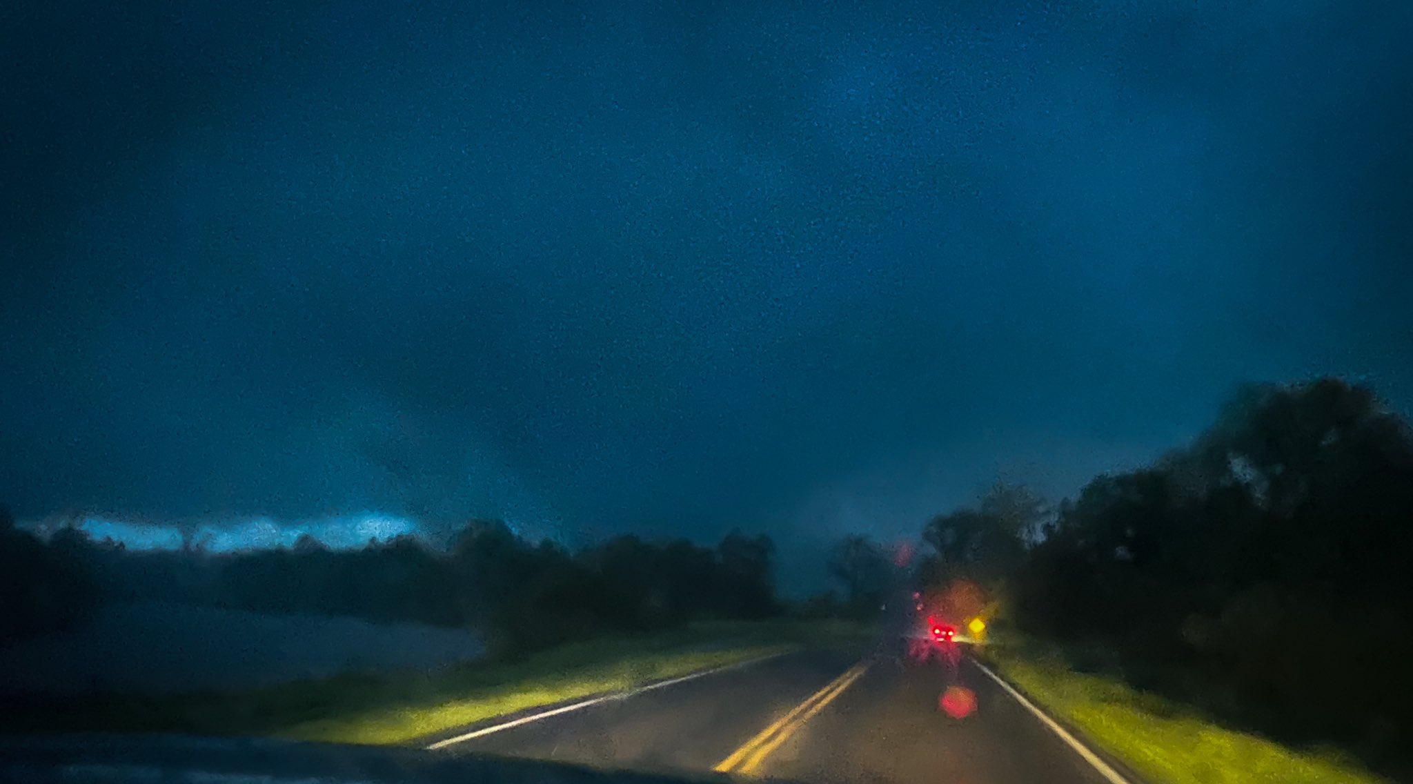
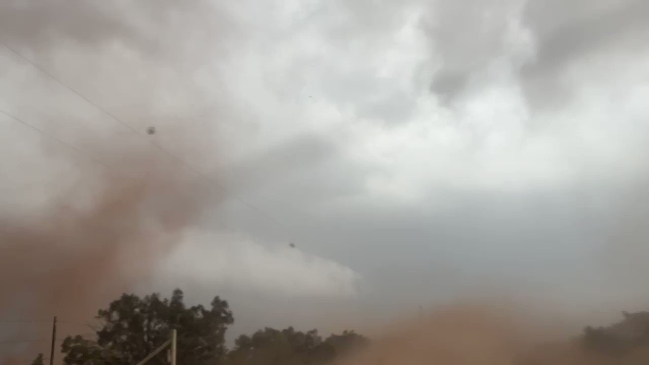
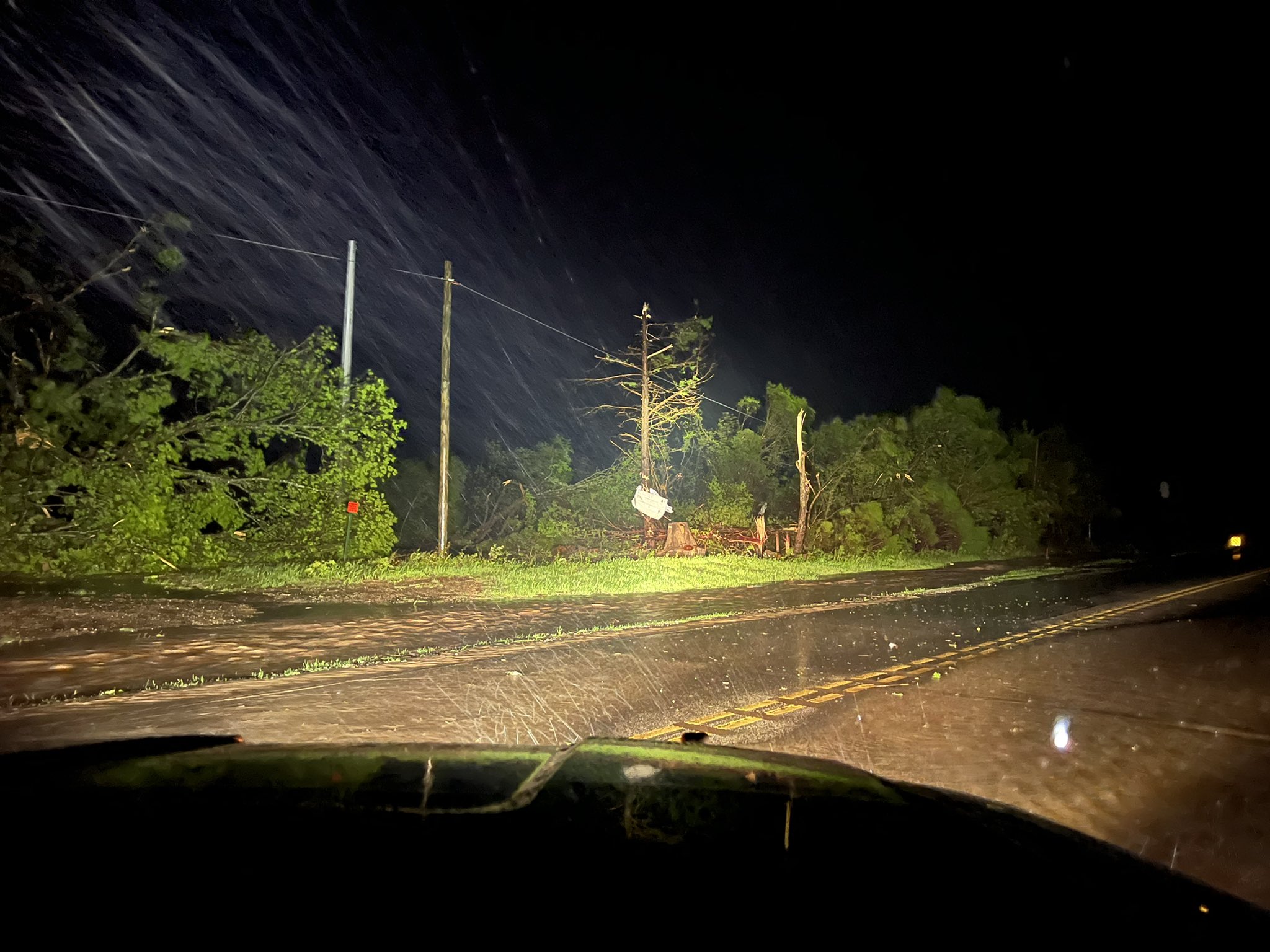
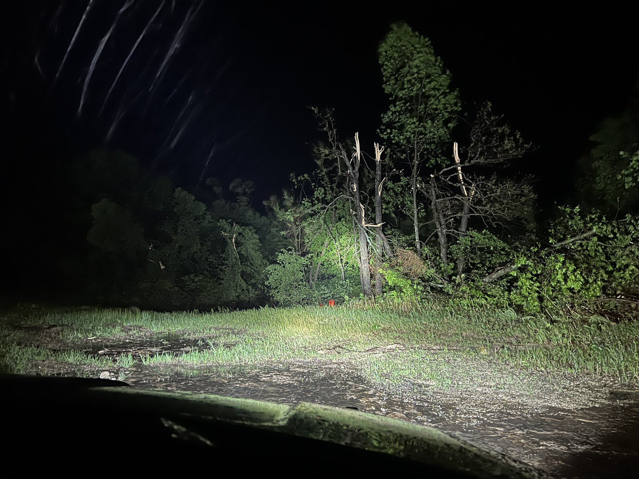
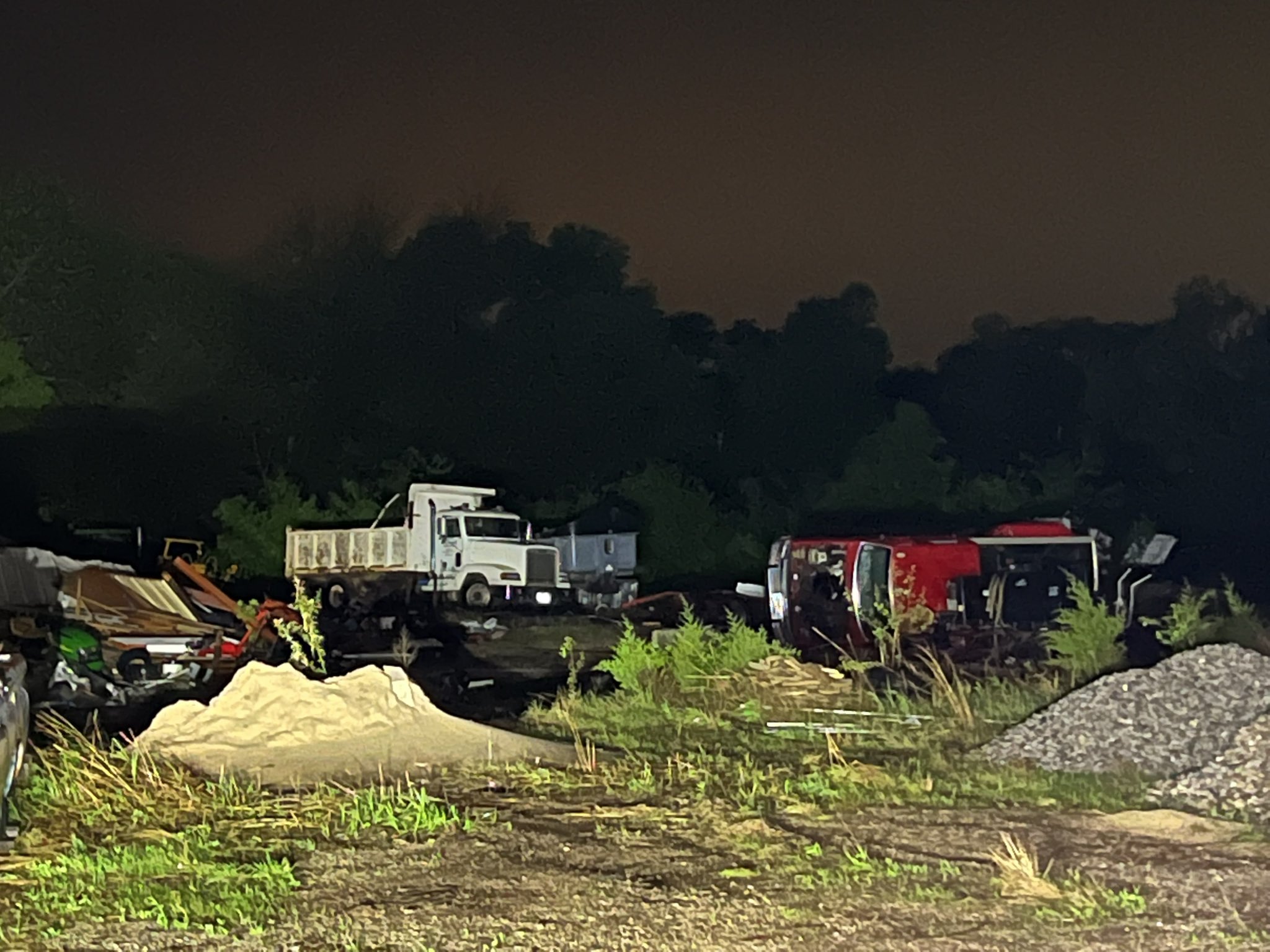
Crazy day with several close range encounters. We have a ton of footage to go through!
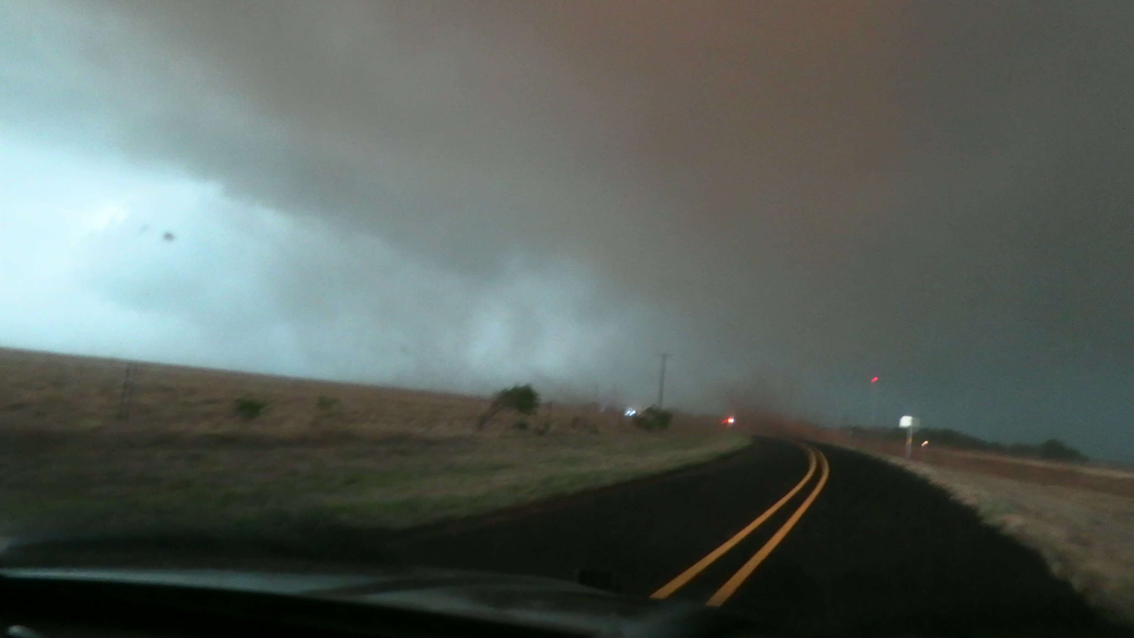
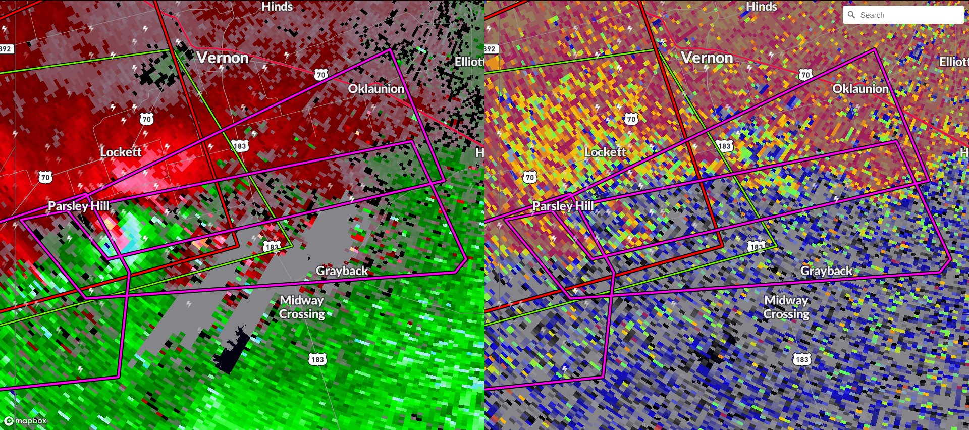
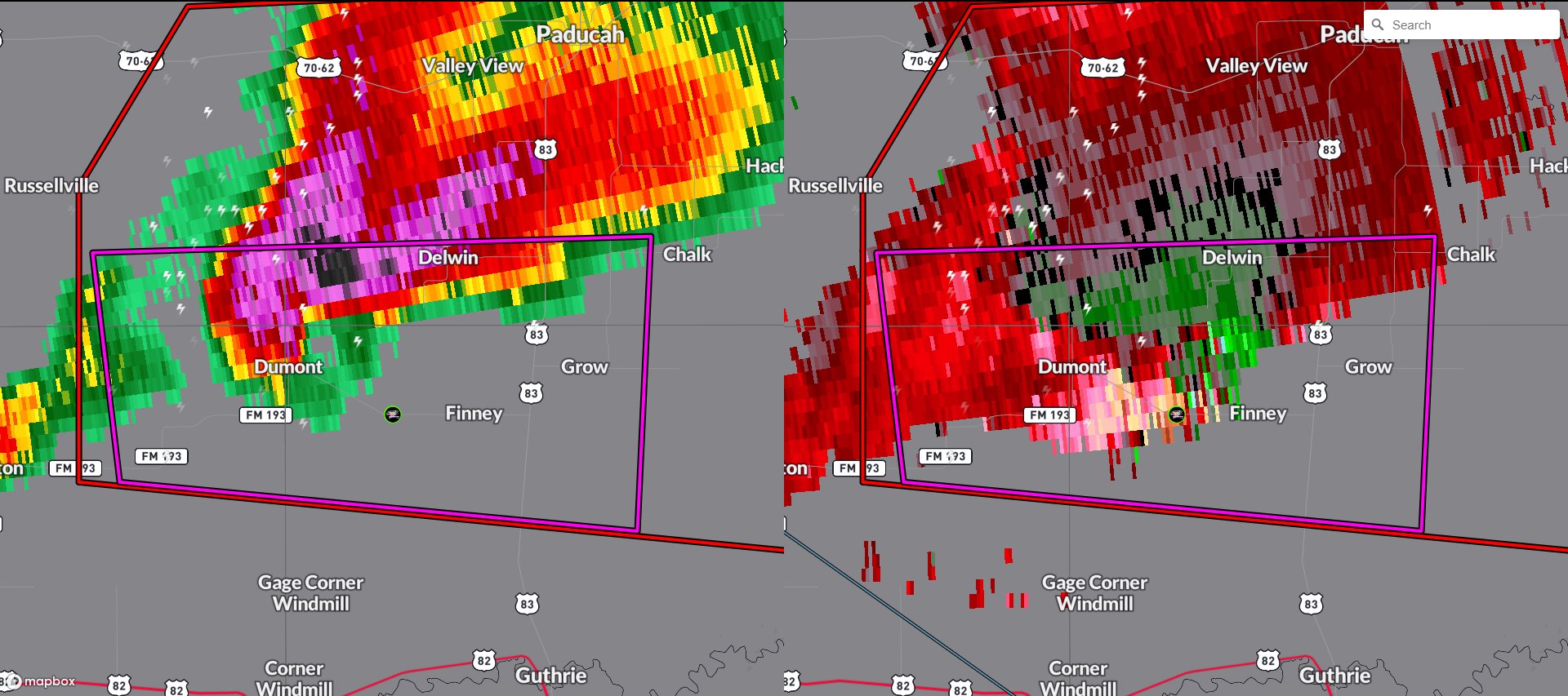
The first Particularly Dangerous Situation-tagged tornado warning of the night has been issued for a tornado south of Lockett, Texas. A large debris signature has been observed on radar using
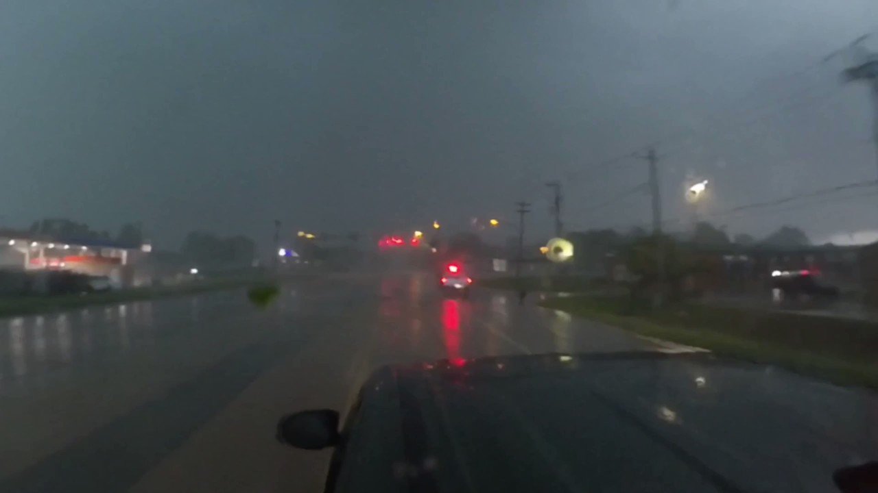
where he intercepted a tornado in Foard County, Texas. Storms are still active and producing tornadoes across Oklahoma and Texas. We are live and covering these storms with our chasers and on radar using
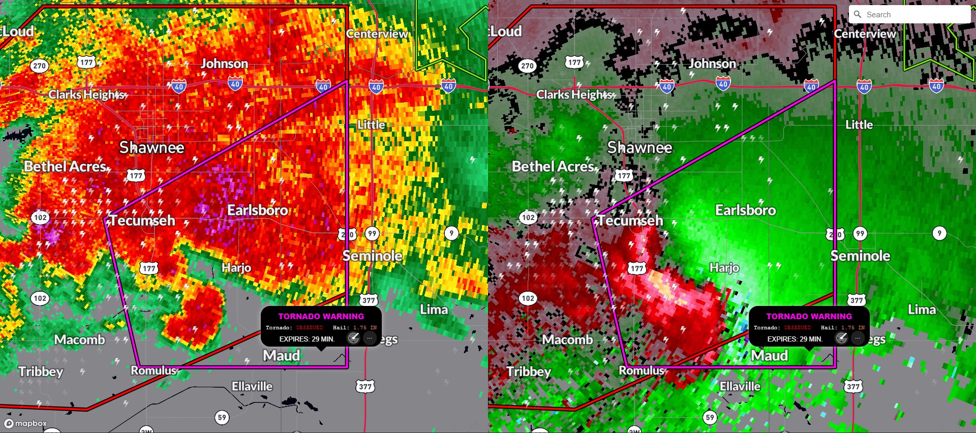
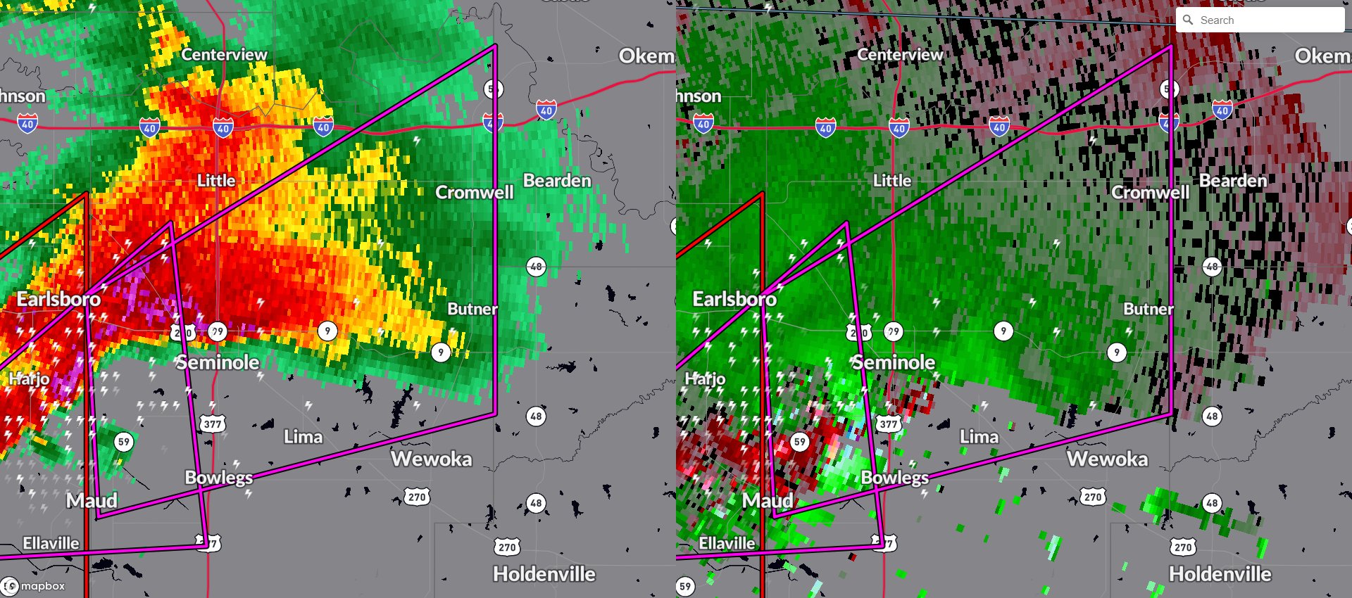
Tornado on the ground reported by spotters and shown on radar just northeast of Earlsboro, Oklahoma. We are live and covering these storms on radar using the
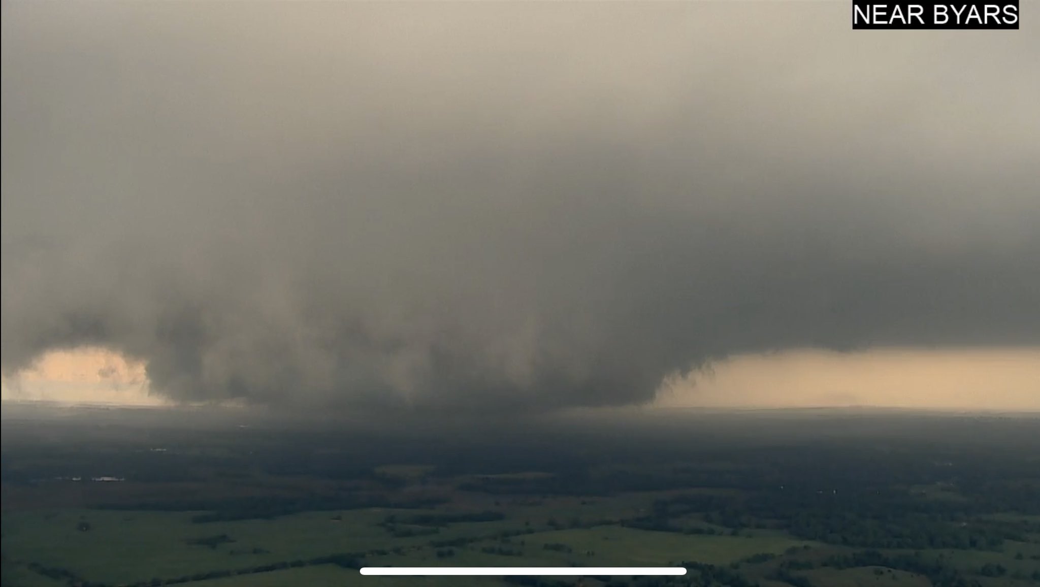
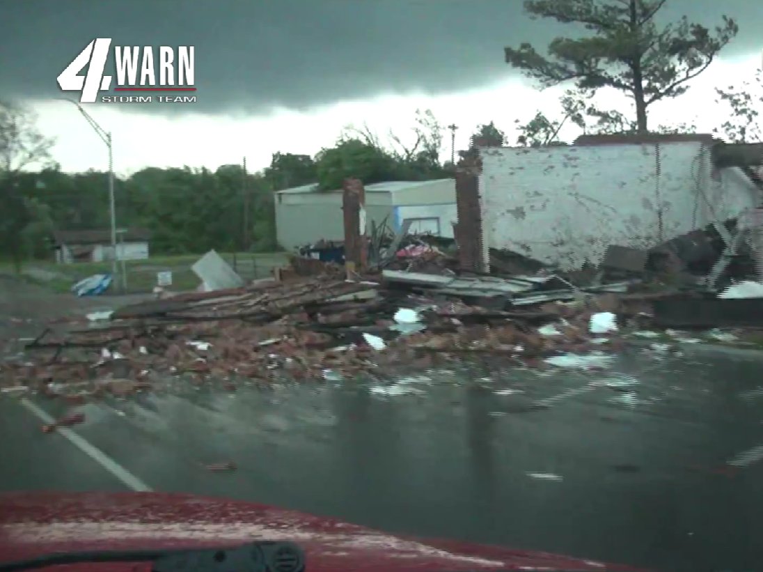
Confirmed tornado by spotters and by National Weather Service on a storm near Cromwell, Oklahoma. We are live with chasers on the ground and tracking using
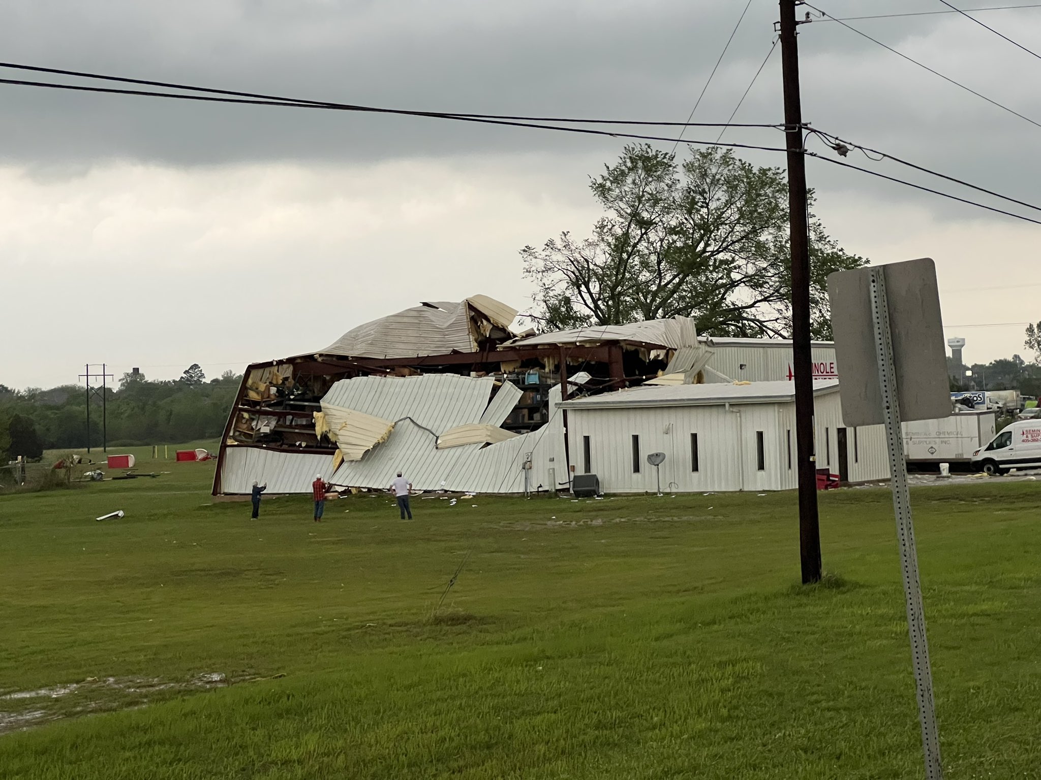
caught this live near Seminole, Oklahoma as a confirmed tornado has seemingly moved through the city of Seminole. We are live with Zach and other chasers as they see the storms on the ground and tracking them with
A confirmed tornado is northwest of Bowlegs, Oklahoma potentially heading for the city of Seminole, Oklahoma. We are live and covering these strong storms using